Benchmark, Howdon Lane, Goods Yard Wall
Introduction
The photograph on this page of Benchmark, Howdon Lane, Goods Yard Wall by Adrian Taylor as part of the Geograph project.
The Geograph project started in 2005 with the aim of publishing, organising and preserving representative images for every square kilometre of Great Britain, Ireland and the Isle of Man.

There are currently over 7.5m images from over 14,400 individuals and you can help contribute to the project by visiting https://www.geograph.org.uk
Benchmark, Howdon Lane, Goods Yard Wall
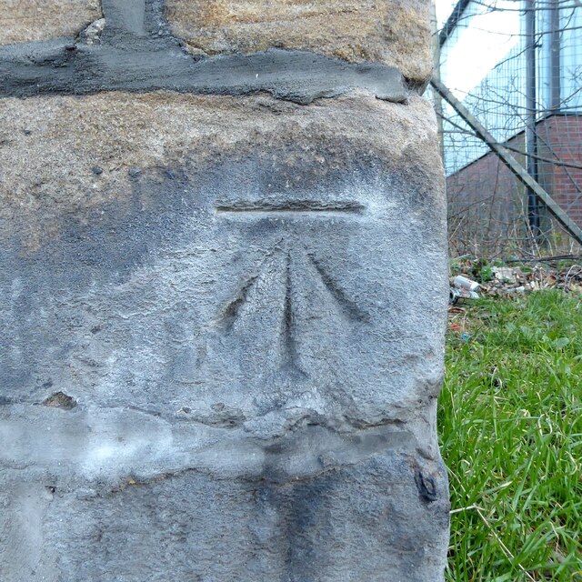
Image: © Adrian Taylor Taken: 27 Jan 2022
Detail of the Ordnance Survey cut benchmark on the corner of the former railway goods yard wall near Howdon Level Crossing and Metro Station. The benchmark marks a height of 32.0985m above sea level (Ordnance Datum Newlyn) last verified in 1962 (location photograph Image).
Images are licensed for reuse under creativecommons.org/licenses/by-sa/2.0
Image Location
Latitude
54.995646
Longitude
-1.494023