The Mid Wilts Way entering Kingston Deverill
Introduction
The photograph on this page of The Mid Wilts Way entering Kingston Deverill by Tim Heaton as part of the Geograph project.
The Geograph project started in 2005 with the aim of publishing, organising and preserving representative images for every square kilometre of Great Britain, Ireland and the Isle of Man.

There are currently over 7.5m images from over 14,400 individuals and you can help contribute to the project by visiting https://www.geograph.org.uk
The Mid Wilts Way entering Kingston Deverill
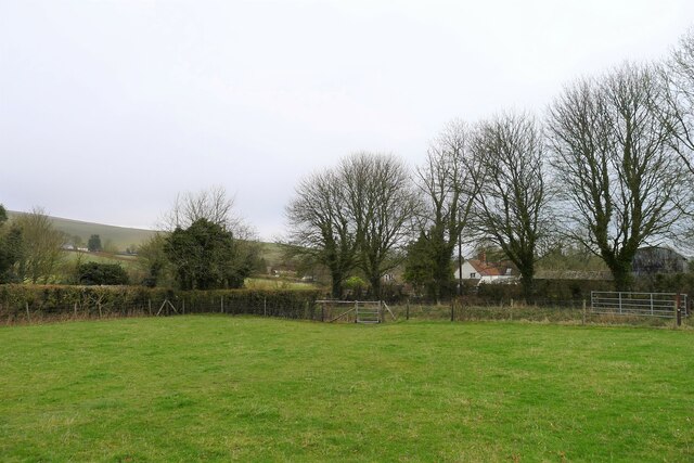
Image: © Tim Heaton Taken: 1 Feb 2022
Onto the narrow flood plain of the River Wylye after leaving Court Hill
Images are licensed for reuse under creativecommons.org/licenses/by-sa/2.0
Image Location
Latitude
51.131876
Longitude
-2.226467