Ashby Saint Ledgers
Introduction
The photograph on this page of Ashby Saint Ledgers by Ian Rob as part of the Geograph project.
The Geograph project started in 2005 with the aim of publishing, organising and preserving representative images for every square kilometre of Great Britain, Ireland and the Isle of Man.

There are currently over 7.5m images from over 14,400 individuals and you can help contribute to the project by visiting https://www.geograph.org.uk
Ashby Saint Ledgers
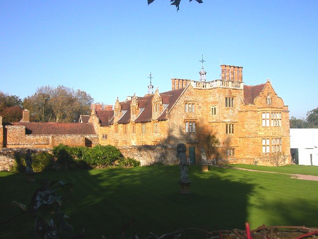
Image: © Ian Rob Taken: 27 Oct 2005
Manor House in the shadow of the Church tower. House has connections with Battle of Bosworth Field (1485). This was the house of the Catesby family. Robert was involved in the Gunpowder Plot in 1605. It has recently been bought by the Queen.
Images are licensed for reuse under creativecommons.org/licenses/by-sa/2.0
Image Location


Leaflet Map data © OpenStreetMap
Latitude
52.311609
Longitude
-1.157995