Roadside stile at East Kyo
Introduction
The photograph on this page of Roadside stile at East Kyo by Robert Graham as part of the Geograph project.
The Geograph project started in 2005 with the aim of publishing, organising and preserving representative images for every square kilometre of Great Britain, Ireland and the Isle of Man.

There are currently over 7.5m images from over 14,400 individuals and you can help contribute to the project by visiting https://www.geograph.org.uk
Roadside stile at East Kyo
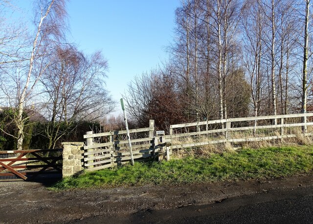
Image: © Robert Graham Taken: 24 Jan 2022
By the side of Kyo Lane, this path leads over the fields to Pea Farm.
Images are licensed for reuse under creativecommons.org/licenses/by-sa/2.0
Image Location
Latitude
54.869214
Longitude
-1.725577