Towards a bend in the B4233 near Hendre, Monmouthshire
Introduction
The photograph on this page of Towards a bend in the B4233 near Hendre, Monmouthshire by Jaggery as part of the Geograph project.
The Geograph project started in 2005 with the aim of publishing, organising and preserving representative images for every square kilometre of Great Britain, Ireland and the Isle of Man.

There are currently over 7.5m images from over 14,400 individuals and you can help contribute to the project by visiting https://www.geograph.org.uk
Towards a bend in the B4233 near Hendre, Monmouthshire
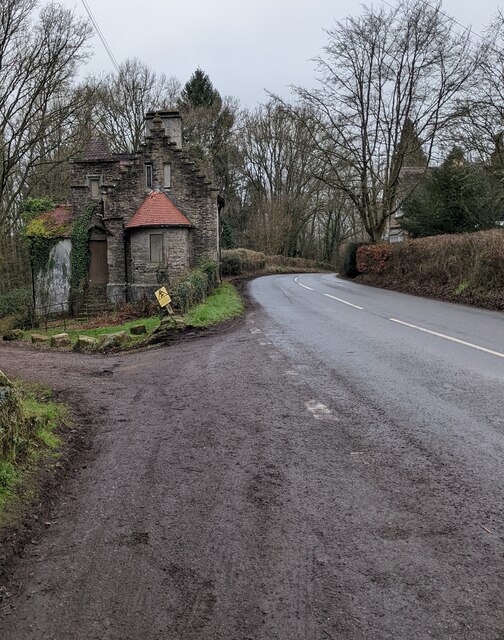
Image: © Jaggery Taken: 23 Jan 2022
Ahead for Hendre. Behind the camera for Rockfield and Monmouth. Derelict North Lodge https://www.geograph.org.uk/photo/5325582 is on the left.
Images are licensed for reuse under creativecommons.org/licenses/by-sa/2.0
Image Location
Latitude
51.827581
Longitude
-2.783957