Farmland near Buckyette Farm
Introduction
The photograph on this page of Farmland near Buckyette Farm by Derek Harper as part of the Geograph project.
The Geograph project started in 2005 with the aim of publishing, organising and preserving representative images for every square kilometre of Great Britain, Ireland and the Isle of Man.

There are currently over 7.5m images from over 14,400 individuals and you can help contribute to the project by visiting https://www.geograph.org.uk
Farmland near Buckyette Farm
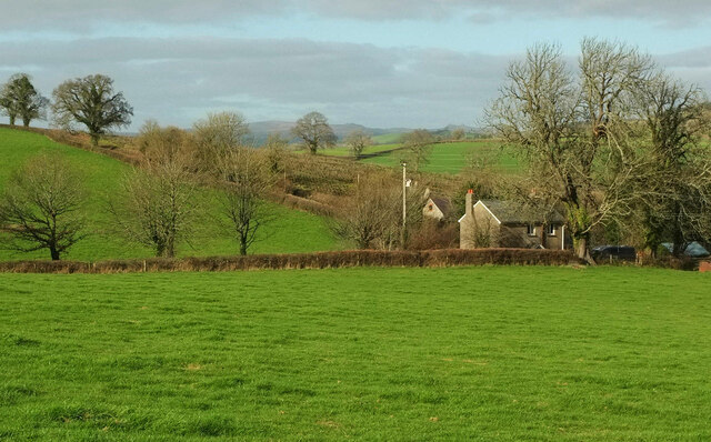
Image: © Derek Harper Taken: 30 Jan 2022
Looking left from Image], with the North Lodge on the right, and Higher Meadow Barn beyond it on the lane to Reevacre Cross.
Images are licensed for reuse under creativecommons.org/licenses/by-sa/2.0
Image Location
Latitude
50.462254
Longitude
-3.67357