Field near Buckyette Farm
Introduction
The photograph on this page of Field near Buckyette Farm by Derek Harper as part of the Geograph project.
The Geograph project started in 2005 with the aim of publishing, organising and preserving representative images for every square kilometre of Great Britain, Ireland and the Isle of Man.

There are currently over 7.5m images from over 14,400 individuals and you can help contribute to the project by visiting https://www.geograph.org.uk
Field near Buckyette Farm
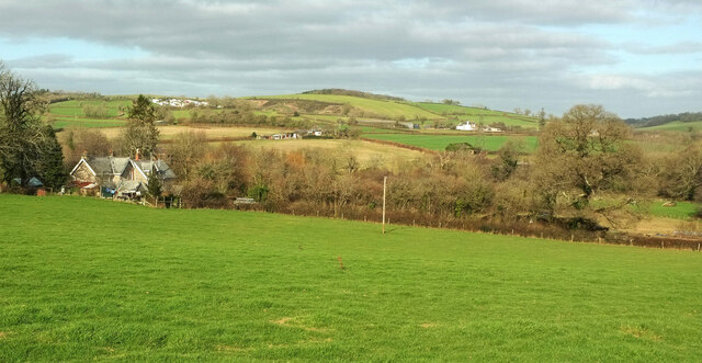
Image: © Derek Harper Taken: 30 Jan 2022
Looking to the left from Image On the left are two of the lodges to Buckyette Farm. The prominent tree on the right is seen on the left of Image In the distance are a motocross event (left) and Fishacre Barton (right).
Images are licensed for reuse under creativecommons.org/licenses/by-sa/2.0
Image Location
Latitude
50.462448
Longitude
-3.672591