Recreation Area at the Bottom of Millfield Road
Introduction
The photograph on this page of Recreation Area at the Bottom of Millfield Road by Mick Garratt as part of the Geograph project.
The Geograph project started in 2005 with the aim of publishing, organising and preserving representative images for every square kilometre of Great Britain, Ireland and the Isle of Man.

There are currently over 7.5m images from over 14,400 individuals and you can help contribute to the project by visiting https://www.geograph.org.uk
Recreation Area at the Bottom of Millfield Road
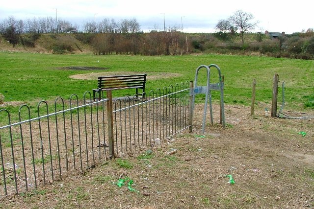
Image: © Mick Garratt Taken: 29 Feb 2008
The A1085 trunk road can be seen on the embankment in the distance.
Images are licensed for reuse under creativecommons.org/licenses/by-sa/2.0
Image Location
Latitude
54.56744
Longitude
-1.212416