Kingston Village Panorama
Introduction
The photograph on this page of Kingston Village Panorama by Phil Brandon Hunter as part of the Geograph project.
The Geograph project started in 2005 with the aim of publishing, organising and preserving representative images for every square kilometre of Great Britain, Ireland and the Isle of Man.

There are currently over 7.5m images from over 14,400 individuals and you can help contribute to the project by visiting https://www.geograph.org.uk
Kingston Village Panorama
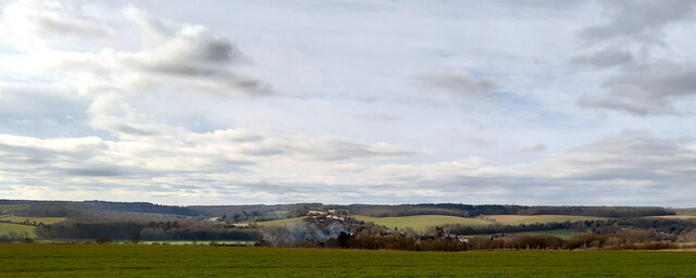
Image: © Phil Brandon Hunter Taken: 2 Feb 2022
The view south-west from Barham Downs on the North Downs Way, looking towards the village of Kingston, Kent.
Images are licensed for reuse under creativecommons.org/licenses/by-sa/2.0
Image Location
Latitude
51.217391
Longitude
1.142997