Bottom of Southampton Hill- Titchfield
Introduction
The photograph on this page of Bottom of Southampton Hill- Titchfield by Colin Babb as part of the Geograph project.
The Geograph project started in 2005 with the aim of publishing, organising and preserving representative images for every square kilometre of Great Britain, Ireland and the Isle of Man.

There are currently over 7.5m images from over 14,400 individuals and you can help contribute to the project by visiting https://www.geograph.org.uk
Bottom of Southampton Hill- Titchfield
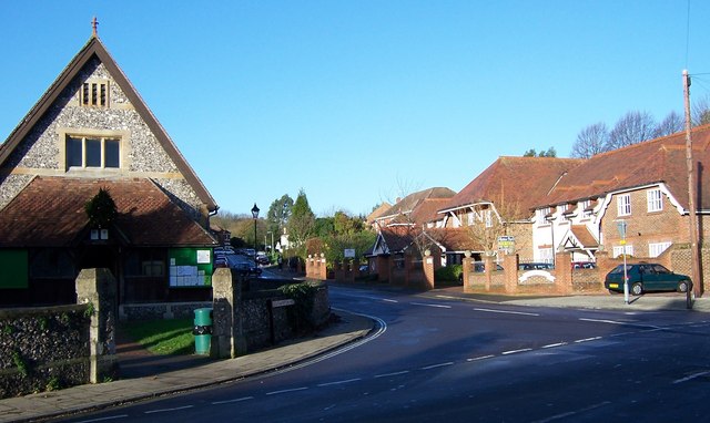
Image: © Colin Babb Taken: 4 Dec 2006
New houses on the right blend in quite well.
Images are licensed for reuse under creativecommons.org/licenses/by-sa/2.0
Image Location
Latitude
50.850382
Longitude
-1.23514