Priory Road
Introduction
The photograph on this page of Priory Road by Simon Carey as part of the Geograph project.
The Geograph project started in 2005 with the aim of publishing, organising and preserving representative images for every square kilometre of Great Britain, Ireland and the Isle of Man.

There are currently over 7.5m images from over 14,400 individuals and you can help contribute to the project by visiting https://www.geograph.org.uk
Priory Road
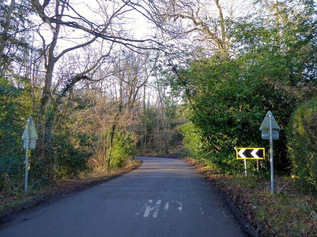
Image: © Simon Carey Taken: 30 Jan 2022
The C road connects Forest Row to Selsfield Common via West Hoathly. Here it enters Ashdown Forest via one of its former medieval entrances known as Claypits Gate named after nearby Claypits Farm which is now the site of Greenfields School.
Images are licensed for reuse under creativecommons.org/licenses/by-sa/2.0
Image Location
Latitude
51.087741
Longitude
0.016008