Friars Mews, Lincoln from Broadgate Car Park
Introduction
The photograph on this page of Friars Mews, Lincoln from Broadgate Car Park by Jo and Steve Turner as part of the Geograph project.
The Geograph project started in 2005 with the aim of publishing, organising and preserving representative images for every square kilometre of Great Britain, Ireland and the Isle of Man.

There are currently over 7.5m images from over 14,400 individuals and you can help contribute to the project by visiting https://www.geograph.org.uk
Friars Mews, Lincoln from Broadgate Car Park
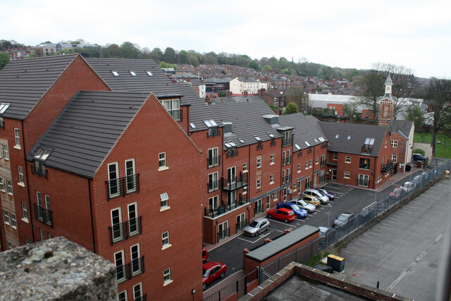
Image: © Jo and Steve Turner Taken: 1 May 2010
Friars Mews was largely built on land from the Wesleyan Day School (formerly Saracens Head garden) and what had been four, Mills and Creasey built, houses (Nos.14-20) on Friars Lane. In 2003 remaining buildings to the rear of the school were demolished and in addition to the building of Friars Mews the balance of the school was refurbished in 2004-5 as part of Wesley Court housing scheme.
Images are licensed for reuse under creativecommons.org/licenses/by-sa/2.0
Image Location
Latitude
53.229636
Longitude
-0.534722