Local authority retirement flats, Wilby Road
Introduction
The photograph on this page of Local authority retirement flats, Wilby Road by Paul Shreeve as part of the Geograph project.
The Geograph project started in 2005 with the aim of publishing, organising and preserving representative images for every square kilometre of Great Britain, Ireland and the Isle of Man.

There are currently over 7.5m images from over 14,400 individuals and you can help contribute to the project by visiting https://www.geograph.org.uk
Local authority retirement flats, Wilby Road
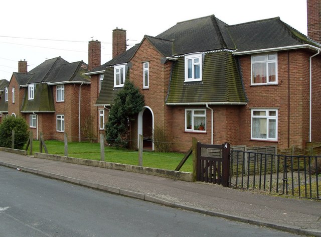
Image: © Paul Shreeve Taken: 29 Feb 2008
As well as houses and flats, the 1940s Sandy Lane estate included one-bedroom retirement flats.
Images are licensed for reuse under creativecommons.org/licenses/by-sa/2.0
Image Location
Latitude
52.606088
Longitude
1.294595