Approaching Tantobie on the Harperley road
Introduction
The photograph on this page of Approaching Tantobie on the Harperley road by Robert Graham as part of the Geograph project.
The Geograph project started in 2005 with the aim of publishing, organising and preserving representative images for every square kilometre of Great Britain, Ireland and the Isle of Man.

There are currently over 7.5m images from over 14,400 individuals and you can help contribute to the project by visiting https://www.geograph.org.uk
Approaching Tantobie on the Harperley road
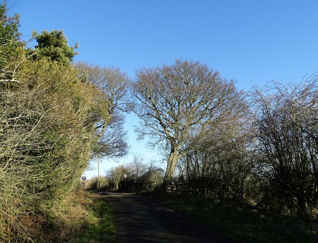
Image: © Robert Graham Taken: 24 Jan 2022
Looking north towards the village from the south. This minor road runs from West Kyo through Harperley to Tantobie and is an old route.
Images are licensed for reuse under creativecommons.org/licenses/by-sa/2.0
Image Location
Latitude
54.88351
Longitude
-1.728909