Gribdale Terrace
Introduction
The photograph on this page of Gribdale Terrace by Gordon Hatton as part of the Geograph project.
The Geograph project started in 2005 with the aim of publishing, organising and preserving representative images for every square kilometre of Great Britain, Ireland and the Isle of Man.

There are currently over 7.5m images from over 14,400 individuals and you can help contribute to the project by visiting https://www.geograph.org.uk
Gribdale Terrace
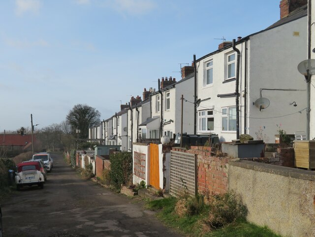
Image: © Gordon Hatton Taken: 1 Feb 2022
The initial thought is that these must have been erected for miners in the local iron ore mine or even for the jet mining, but the dates don't seem to match. The terrace first appears on the 1913 OS map, and it seems that they were for quarrymen working in the Whinstone quarry further down the hill. The whinstone follows the long thin line of the Cleveland Dyke which runs across much of the North York Moors from Great Ayton towards Robin Hood's Bay with the best deposits at this western end. Quarrying for whinstone, largely used in road construction, carried on in this area until the 1960's.
Images are licensed for reuse under creativecommons.org/licenses/by-sa/2.0
Image Location
Latitude
54.492317
Longitude
-1.097918