Rochdale Canal Feed below Whittaker
Introduction
The photograph on this page of Rochdale Canal Feed below Whittaker by Kevin Waterhouse as part of the Geograph project.
The Geograph project started in 2005 with the aim of publishing, organising and preserving representative images for every square kilometre of Great Britain, Ireland and the Isle of Man.

There are currently over 7.5m images from over 14,400 individuals and you can help contribute to the project by visiting https://www.geograph.org.uk
Rochdale Canal Feed below Whittaker
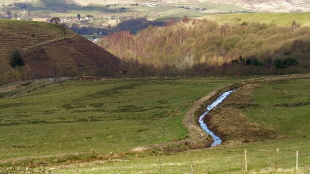
Image: © Kevin Waterhouse Taken: 20 Mar 2016
The Canal Feed from Hollingworth Lake to Summit had been recently dredged below Whittaker at this date.
Images are licensed for reuse under creativecommons.org/licenses/by-sa/2.0
Image Location
Latitude
53.637879
Longitude
-2.083297