Shropshire farmland and woodland near Woundale
Introduction
The photograph on this page of Shropshire farmland and woodland near Woundale by Roger Kidd as part of the Geograph project.
The Geograph project started in 2005 with the aim of publishing, organising and preserving representative images for every square kilometre of Great Britain, Ireland and the Isle of Man.

There are currently over 7.5m images from over 14,400 individuals and you can help contribute to the project by visiting https://www.geograph.org.uk
Shropshire farmland and woodland near Woundale
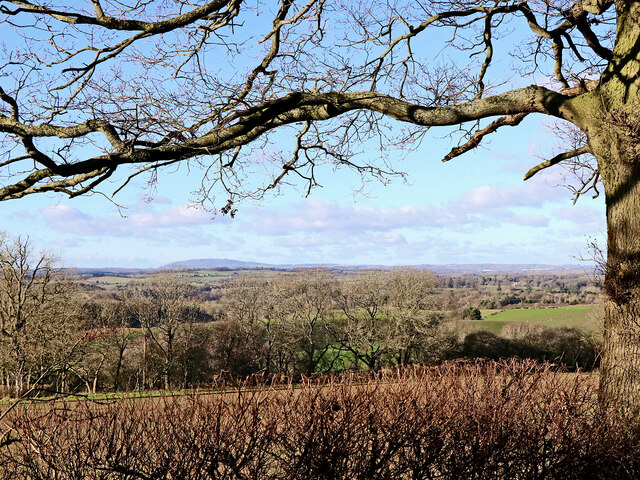
Image: © Roger Kidd Taken: 27 Jan 2022
Looking north-west from the byway near Woundale House Farm. On the skyline, The Wrekin dominates, thirteen miles (21km) away, and 1335 feet high (407 metres).
Images are licensed for reuse under creativecommons.org/licenses/by-sa/2.0
Image Location
Latitude
52.536344
Longitude
-2.342878