Fields near Tobarn and Wainhouse Corner
Introduction
The photograph on this page of Fields near Tobarn and Wainhouse Corner by David Hawgood as part of the Geograph project.
The Geograph project started in 2005 with the aim of publishing, organising and preserving representative images for every square kilometre of Great Britain, Ireland and the Isle of Man.

There are currently over 7.5m images from over 14,400 individuals and you can help contribute to the project by visiting https://www.geograph.org.uk
Fields near Tobarn and Wainhouse Corner
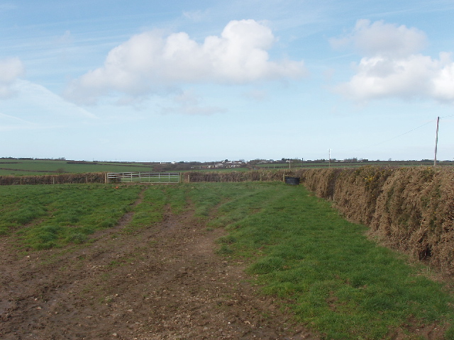
Image: © David Hawgood Taken: 27 Feb 2008
The buildings on the skyline are by the A39 main road. View from road which is one branch of National Cycle Route no 3.
Images are licensed for reuse under creativecommons.org/licenses/by-sa/2.0
Image Location


Leaflet Map data © OpenStreetMap
Latitude
50.723898
Longitude
-4.567152