Sistrakeel RC Church and Parochial House
Introduction
The photograph on this page of Sistrakeel RC Church and Parochial House by Kenneth Allen as part of the Geograph project.
The Geograph project started in 2005 with the aim of publishing, organising and preserving representative images for every square kilometre of Great Britain, Ireland and the Isle of Man.

There are currently over 7.5m images from over 14,400 individuals and you can help contribute to the project by visiting https://www.geograph.org.uk
Sistrakeel RC Church and Parochial House
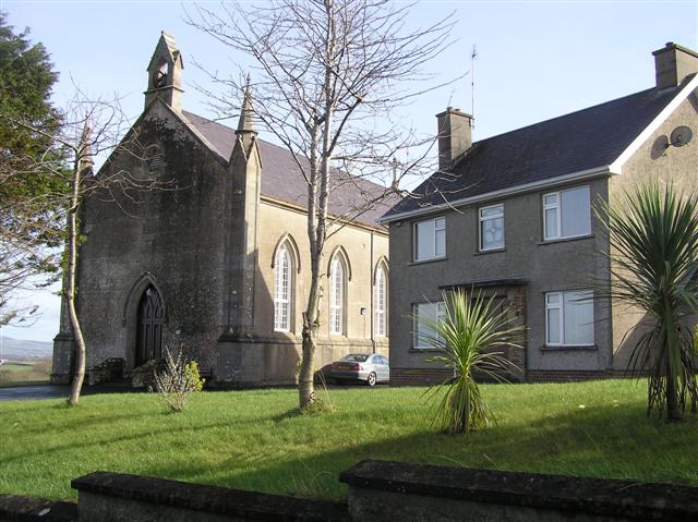
Image: © Kenneth Allen Taken: 27 Feb 2008
They are located on the Loughermore Road. The church dates from 1849.
Images are licensed for reuse under creativecommons.org/licenses/by-sa/2.0
Image Location


Leaflet Map data © OpenStreetMap
Latitude
55.032537
Longitude
-7.02974