Glennan Burn
Introduction
The photograph on this page of Glennan Burn by Richard Sutcliffe as part of the Geograph project.
The Geograph project started in 2005 with the aim of publishing, organising and preserving representative images for every square kilometre of Great Britain, Ireland and the Isle of Man.

There are currently over 7.5m images from over 14,400 individuals and you can help contribute to the project by visiting https://www.geograph.org.uk
Glennan Burn
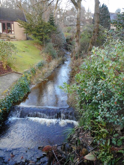
Image: © Richard Sutcliffe Taken: 27 Jan 2022
A small burn, which here flows south between two properties on Queen Street. It joins the Clyde about 300 metres west of Helensburgh Pier.
Images are licensed for reuse under creativecommons.org/licenses/by-sa/2.0
Image Location
Latitude
56.011556
Longitude
-4.73777