Hazel Gap Farm
Introduction
The photograph on this page of Hazel Gap Farm by Jonathan Thacker as part of the Geograph project.
The Geograph project started in 2005 with the aim of publishing, organising and preserving representative images for every square kilometre of Great Britain, Ireland and the Isle of Man.

There are currently over 7.5m images from over 14,400 individuals and you can help contribute to the project by visiting https://www.geograph.org.uk
Hazel Gap Farm
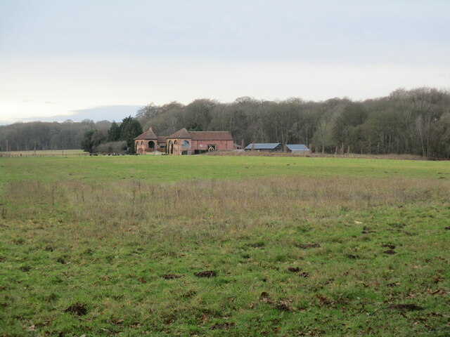
Image: © Jonathan Thacker Taken: 28 Jan 2022
The farm dates to about 1790 and it is likely it was designed by John Carr https://historicengland.org.uk/listing/the-list/list-entry/1224160?section=official-listing Now a wedding venue.
Images are licensed for reuse under creativecommons.org/licenses/by-sa/2.0
Image Location
Latitude
53.235858
Longitude
-1.11001