Bungalows at White-le-Head
Introduction
The photograph on this page of Bungalows at White-le-Head by Robert Graham as part of the Geograph project.
The Geograph project started in 2005 with the aim of publishing, organising and preserving representative images for every square kilometre of Great Britain, Ireland and the Isle of Man.

There are currently over 7.5m images from over 14,400 individuals and you can help contribute to the project by visiting https://www.geograph.org.uk
Bungalows at White-le-Head
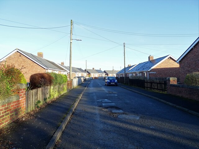
Image: © Robert Graham Taken: 24 Jan 2022
This is Alder Crescent, a small estate of council bungalows built between the wars in this little ex-mining village.
Images are licensed for reuse under creativecommons.org/licenses/by-sa/2.0
Image Location
Latitude
54.884972
Longitude
-1.739967