The River Erewash between Stapleford and Sandiacre
Introduction
The photograph on this page of The River Erewash between Stapleford and Sandiacre by Jonathan Thacker as part of the Geograph project.
The Geograph project started in 2005 with the aim of publishing, organising and preserving representative images for every square kilometre of Great Britain, Ireland and the Isle of Man.

There are currently over 7.5m images from over 14,400 individuals and you can help contribute to the project by visiting https://www.geograph.org.uk
The River Erewash between Stapleford and Sandiacre
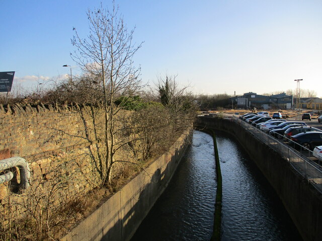
Image: © Jonathan Thacker Taken: 26 Jan 2022
Looking downstream, Sandiacre to the right. The river forms the boundary between Nottinghamshire and Derbyshire.
Images are licensed for reuse under creativecommons.org/licenses/by-sa/2.0
Image Location
Latitude
52.922224
Longitude
-1.283637