Robin Road
Introduction
The photograph on this page of Robin Road by John Baker as part of the Geograph project.
The Geograph project started in 2005 with the aim of publishing, organising and preserving representative images for every square kilometre of Great Britain, Ireland and the Isle of Man.

There are currently over 7.5m images from over 14,400 individuals and you can help contribute to the project by visiting https://www.geograph.org.uk
Robin Road
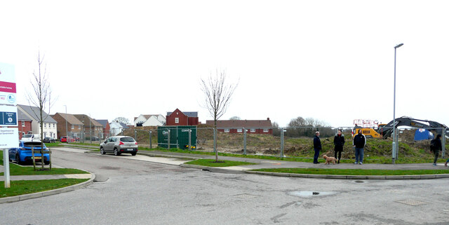
Image: © John Baker Taken: 1 Jan 2022
Robin Road is a road on the Finberry housing estate, which is a 168 hectare development site which will eventually contain 1180 homes making it the largest single development in Ashford since 2002 https://en.wikipedia.org/wiki/Finberry The land beyond the group of people, who are on a New Year’s Day walk, is destined for development.
Images are licensed for reuse under creativecommons.org/licenses/by-sa/2.0
Image Location
Latitude
51.11825
Longitude
0.889307