Stable block at The Old Rectory
Introduction
The photograph on this page of Stable block at The Old Rectory by Alan Murray-Rust as part of the Geograph project.
The Geograph project started in 2005 with the aim of publishing, organising and preserving representative images for every square kilometre of Great Britain, Ireland and the Isle of Man.

There are currently over 7.5m images from over 14,400 individuals and you can help contribute to the project by visiting https://www.geograph.org.uk
Stable block at The Old Rectory
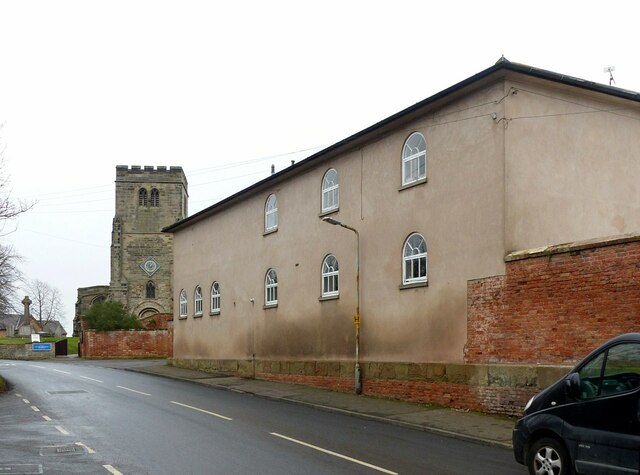
Image: © Alan Murray-Rust Taken: 23 Jan 2022
Early 19th century with some windows with 'Gothick' glazing bars. Now adapted for residential use, Listed Grade II.
Images are licensed for reuse under creativecommons.org/licenses/by-sa/2.0
Image Location
Latitude
52.89158
Longitude
-1.08824