The remains of Manor Farm farmyard
Introduction
The photograph on this page of The remains of Manor Farm farmyard by Alan Murray-Rust as part of the Geograph project.
The Geograph project started in 2005 with the aim of publishing, organising and preserving representative images for every square kilometre of Great Britain, Ireland and the Isle of Man.

There are currently over 7.5m images from over 14,400 individuals and you can help contribute to the project by visiting https://www.geograph.org.uk
The remains of Manor Farm farmyard
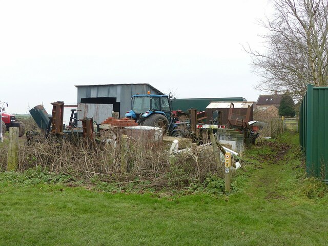
Image: © Alan Murray-Rust Taken: 23 Jan 2022
No longer attached to the original farm, behind the fence to the right, where the outbuildings have been converted to residential use. The separate passage of the footpath appears to be a quite recent (c.2015) development.
Images are licensed for reuse under creativecommons.org/licenses/by-sa/2.0
Image Location
Latitude
52.892847
Longitude
-1.089403