Wood and farmland, St Erme
Introduction
The photograph on this page of Wood and farmland, St Erme by Andrew Smith as part of the Geograph project.
The Geograph project started in 2005 with the aim of publishing, organising and preserving representative images for every square kilometre of Great Britain, Ireland and the Isle of Man.

There are currently over 7.5m images from over 14,400 individuals and you can help contribute to the project by visiting https://www.geograph.org.uk
Wood and farmland, St Erme
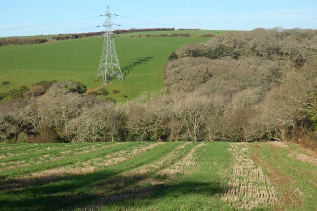
Image: © Andrew Smith Taken: 16 Jan 2022
An arable field to the north-west of Truthan with pasture rising on the other side of the valley beyond Trenerry Wood.
Images are licensed for reuse under creativecommons.org/licenses/by-sa/2.0
Image Location
Latitude
50.323815
Longitude
-5.043899