Acacia Way, Edwalton
Introduction
The photograph on this page of Acacia Way, Edwalton by Alan Murray-Rust as part of the Geograph project.
The Geograph project started in 2005 with the aim of publishing, organising and preserving representative images for every square kilometre of Great Britain, Ireland and the Isle of Man.

There are currently over 7.5m images from over 14,400 individuals and you can help contribute to the project by visiting https://www.geograph.org.uk
Acacia Way, Edwalton
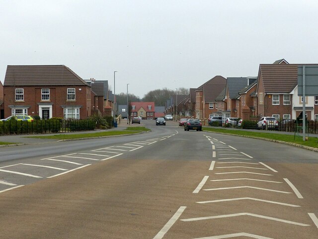
Image: © Alan Murray-Rust Taken: 23 Jan 2022
The entrance to Edwalton Park housing development. The roads are all named after trees.
Images are licensed for reuse under creativecommons.org/licenses/by-sa/2.0
Image Location
Latitude
52.903948
Longitude
-1.119055