Road towards Lomonds
Introduction
The photograph on this page of Road towards Lomonds by Aleks Scholz as part of the Geograph project.
The Geograph project started in 2005 with the aim of publishing, organising and preserving representative images for every square kilometre of Great Britain, Ireland and the Isle of Man.

There are currently over 7.5m images from over 14,400 individuals and you can help contribute to the project by visiting https://www.geograph.org.uk
Road towards Lomonds
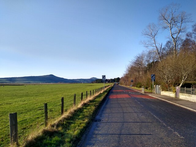
Image: © Aleks Scholz Taken: 21 Jan 2022
The road leaving Ladybank, on the right Monkstown forest, and in the distance the Lomond hills.
Images are licensed for reuse under creativecommons.org/licenses/by-sa/2.0
Image Location
Latitude
56.273411
Longitude
-3.133245