Trenant Bridge
Introduction
The photograph on this page of Trenant Bridge by Derek Harper as part of the Geograph project.
The Geograph project started in 2005 with the aim of publishing, organising and preserving representative images for every square kilometre of Great Britain, Ireland and the Isle of Man.

There are currently over 7.5m images from over 14,400 individuals and you can help contribute to the project by visiting https://www.geograph.org.uk
Trenant Bridge
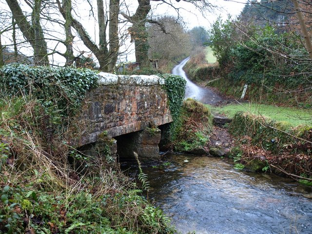
Image: © Derek Harper Taken: 28 Feb 2008
The bridge carries the lane from Draynes to St Neot across a tributary of the Fowey. Beyond the lane climbs towards Treverbyn, with Pethiock Wood on the right.
Images are licensed for reuse under creativecommons.org/licenses/by-sa/2.0
Image Location


Leaflet Map data © OpenStreetMap
Latitude
50.486998
Longitude
-4.525242