Footpath, The Moors
Introduction
The photograph on this page of Footpath, The Moors by Ian Capper as part of the Geograph project.
The Geograph project started in 2005 with the aim of publishing, organising and preserving representative images for every square kilometre of Great Britain, Ireland and the Isle of Man.

There are currently over 7.5m images from over 14,400 individuals and you can help contribute to the project by visiting https://www.geograph.org.uk
Footpath, The Moors
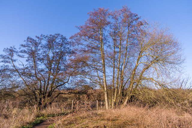
Image: © Ian Capper Taken: 17 Jan 2022
Footpath across The Moors, a wetland nature reserve managed by the Surrey Wildlife Trust alongside the Redhill Brook.
Images are licensed for reuse under creativecommons.org/licenses/by-sa/2.0
Image Location


Leaflet Map data © OpenStreetMap
Latitude
51.244396
Longitude
-0.155417