Moordown: Moorfield Grove
Introduction
The photograph on this page of Moordown: Moorfield Grove by Chris Downer as part of the Geograph project.
The Geograph project started in 2005 with the aim of publishing, organising and preserving representative images for every square kilometre of Great Britain, Ireland and the Isle of Man.

There are currently over 7.5m images from over 14,400 individuals and you can help contribute to the project by visiting https://www.geograph.org.uk
Moordown: Moorfield Grove
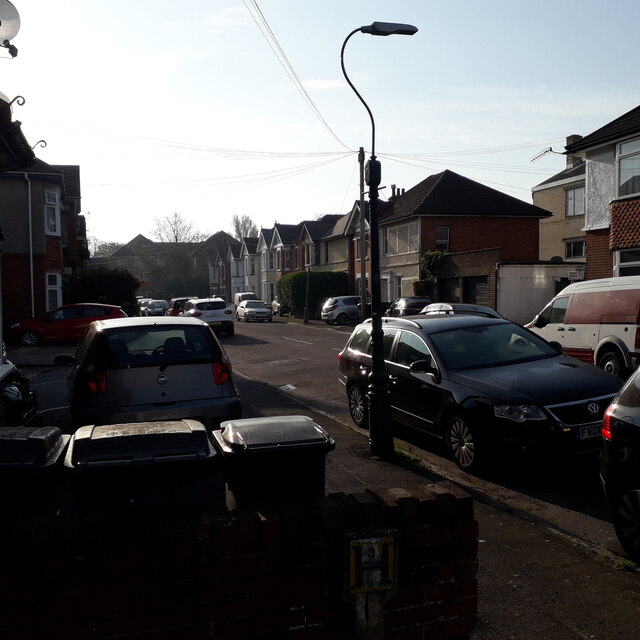
Image: © Chris Downer Taken: 12 Apr 2020
One of the typical residential streets in Winton and Moordown, with its early 20th-century houses, Moorfield Grove is nevertheless slightly unusual in coming to an abrupt stop, at the back of what was originally the grounds of Winton Boys' School, a community centre and sheltered housing since the school moved to more modern premises in the late 1990s. It is also unusual in having no road nameplate: it did until fairly recently but must have been the victim of vandalism or traffic collision. This is photo no.280 of a series of 453 in my coronavirus lockdown walking project: See https://www.geograph.org.uk/article/My-2020-Coronavirus-Lockdown-walking-project for the complete set of photos.
Images are licensed for reuse under creativecommons.org/licenses/by-sa/2.0
Image Location
Latitude
50.750126
Longitude
-1.876627