Moordown: Moordown Close
Introduction
The photograph on this page of Moordown: Moordown Close by Chris Downer as part of the Geograph project.
The Geograph project started in 2005 with the aim of publishing, organising and preserving representative images for every square kilometre of Great Britain, Ireland and the Isle of Man.

There are currently over 7.5m images from over 14,400 individuals and you can help contribute to the project by visiting https://www.geograph.org.uk
Moordown: Moordown Close
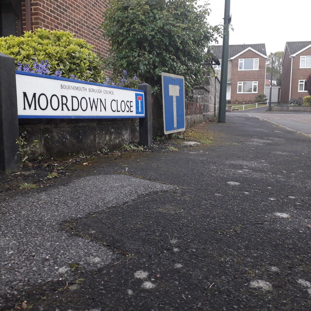
Image: © Chris Downer Taken: 17 Apr 2020
A small cul-de-sac of reasonably modern (1970s?) houses swinging around the corner behind the backs of houses on the main Wimborne Road. The sign is a modern one - it is only in the last couple of years that Bournemouth Borough Council stopped including its name in smaller type at the top of the sign, perhaps in readiness for local government reorganisation in April 2019 which saw the borough council replaced by BCP (Bournemouth, Christchurch & Poole) council. The no-through-road sign incorporated within the nameplate is a fairly common arrangement, and the previous sign clearly didn't have one because the original accompanying sign remains alongside. This is photo no.278 of a series of 453 in my coronavirus lockdown walking project: See https://www.geograph.org.uk/article/My-2020-Coronavirus-Lockdown-walking-project for the complete set of photos.
Images are licensed for reuse under creativecommons.org/licenses/by-sa/2.0
Image Location
Latitude
50.759474
Longitude
-1.872491