
Kinson: Millhams Road
Introduction
The photograph on this page of Kinson: Millhams Road by Chris Downer as part of the Geograph project.
The Geograph project started in 2005 with the aim of publishing, organising and preserving representative images for every square kilometre of Great Britain, Ireland and the Isle of Man.

There are currently over 7.5m images from over 14,400 individuals and you can help contribute to the project by visiting https://www.geograph.org.uk
Kinson: Millhams Road
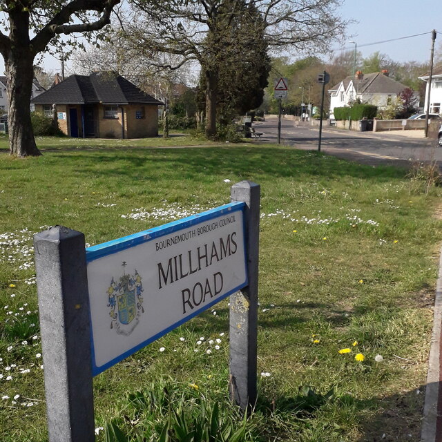
Image: © Chris Downer Taken: 10 Apr 2020
Looking across the village green at the heart of Kinson, long since a 'village' and very much a suburb of Bournemouth. Millhams Road was a through road coming out by Longham Bridge until roughly the late 1980s, when it was closed to traffic between the parish church and the council tip. That middle stretch is still usable by pedestrians and cyclists and forms part of the Millhams Mead Local Nature Reserve. The public toilet block is visible at the far end of the green. The road sign is a standard one from around 2000-2006, perhaps a little earlier, featuring the borough coat of arms. This is photo no.274 of a series of 453 in my coronavirus lockdown walking project: See https://www.geograph.org.uk/article/My-2020-Coronavirus-Lockdown-walking-project for the complete set of photos.
Images are licensed for reuse under creativecommons.org/licenses/by-sa/2.0
Image Location

Latitude
50.769034
Longitude
-1.900826