Balaclava Harbour, Fraserburgh, Aberdeenshire
Introduction
The photograph on this page of Balaclava Harbour, Fraserburgh, Aberdeenshire by Claire Pegrum as part of the Geograph project.
The Geograph project started in 2005 with the aim of publishing, organising and preserving representative images for every square kilometre of Great Britain, Ireland and the Isle of Man.

There are currently over 7.5m images from over 14,400 individuals and you can help contribute to the project by visiting https://www.geograph.org.uk
Balaclava Harbour, Fraserburgh, Aberdeenshire
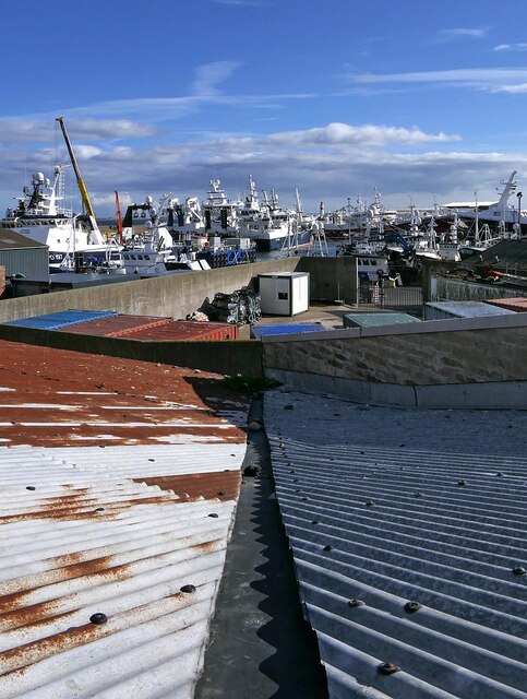
Image: © Claire Pegrum Taken: 4 Oct 2021
Balaclava Harbour is the northernmost area of Fraserburgh Harbour. Work started on it in 1851 and it was named after the battle of 1854.
Images are licensed for reuse under creativecommons.org/licenses/by-sa/2.0
Image Location
Latitude
57.696289
Longitude
-2.003174