High Street, Packington
Introduction
The photograph on this page of High Street, Packington by Oliver Mills as part of the Geograph project.
The Geograph project started in 2005 with the aim of publishing, organising and preserving representative images for every square kilometre of Great Britain, Ireland and the Isle of Man.

There are currently over 7.5m images from over 14,400 individuals and you can help contribute to the project by visiting https://www.geograph.org.uk
High Street, Packington
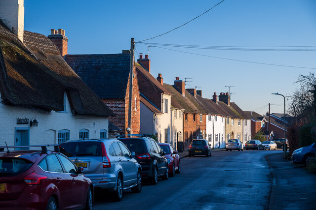
Image: © Oliver Mills Taken: 13 Jan 2022
The central section of the street is dominated by this terraced row of houses; further South is the Bull and Lion public house and several more modern housing developments. To the North is the former Methodist Church (closed c.2011), the Memorial Hall and the Daybreak Services shop. Taken shortly before sunset, with the combination of golden sunlight and cool, deep shadows making white balance selection very challenging!
Images are licensed for reuse under creativecommons.org/licenses/by-sa/2.0
Image Location
Latitude
52.728381
Longitude
-1.466289