Former Well Head
Introduction
The photograph on this page of Former Well Head by Bob Harvey as part of the Geograph project.
The Geograph project started in 2005 with the aim of publishing, organising and preserving representative images for every square kilometre of Great Britain, Ireland and the Isle of Man.

There are currently over 7.5m images from over 14,400 individuals and you can help contribute to the project by visiting https://www.geograph.org.uk
Former Well Head
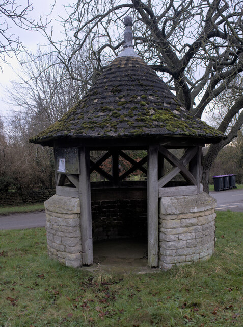
Image: © Bob Harvey Taken: 16 Jan 2022
The description comes direct from the Historic England listing. This is a grade II listed structure - https://historicengland.org.uk/listing/the-list/list-entry/1061787
Images are licensed for reuse under creativecommons.org/licenses/by-sa/2.0
Image Location
Latitude
52.951952
Longitude
-0.443798