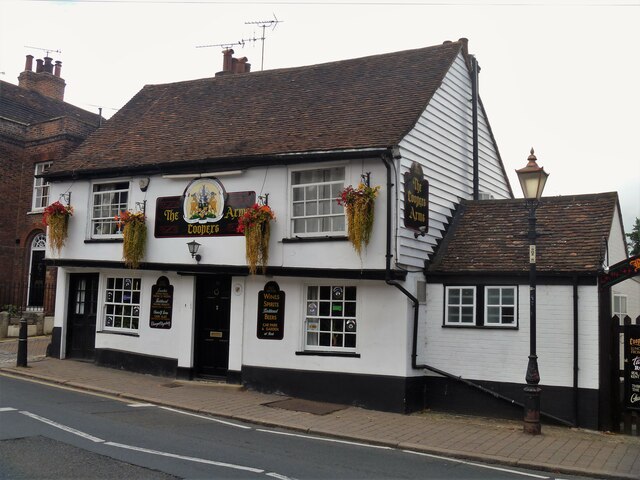
Rochester buildings [4]
Introduction
The photograph on this page of Rochester buildings [4] by Michael Dibb as part of the Geograph project.
The Geograph project started in 2005 with the aim of publishing, organising and preserving representative images for every square kilometre of Great Britain, Ireland and the Isle of Man.
There are currently over 7.5m images from over 14,400 individuals and you can help contribute to the project by visiting https://www.geograph.org.uk

Image: © Michael Dibb Taken: 10 Sep 2021
The Cooper's Arms, number 10 St Margaret's Street, was built in the 17th century, or possibly earlier. There have been alterations in the 18th, 19th and 20th centuries. Timber framed, plastered to the front with weatherboarded sides, all under a tile roof. Listed, grade II, with details at: https://historicengland.org.uk/listing/the-list/list-entry/1145838 Once having city status, Rochester is a town at the lowest bridging point of the River Medway, some 27½ miles southeast of London. The site has been settled since Neolithic times, but the first bridge was built by the Romans. The town has always been of great strategic importance through its position near the confluence of the River Thames and the River Medway and the mighty Rochester Castle was built to guard the crossing. The town is home to the second oldest cathedral in England.

