Forest boundary
Introduction
The photograph on this page of Forest boundary by Jonathan Wilkins as part of the Geograph project.
The Geograph project started in 2005 with the aim of publishing, organising and preserving representative images for every square kilometre of Great Britain, Ireland and the Isle of Man.

There are currently over 7.5m images from over 14,400 individuals and you can help contribute to the project by visiting https://www.geograph.org.uk
Forest boundary
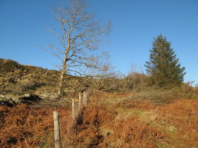
Image: © Jonathan Wilkins Taken: 13 Jan 2022
Coniferous forest has been felled to the left of this fence, though there is some amusement in a relict broadleaf survivor on one side contrasting with a self-sown conifer on the other.
Images are licensed for reuse under creativecommons.org/licenses/by-sa/2.0
Image Location
Latitude
53.062198
Longitude
-3.877667