St Wilfred's, South Kilvington
Introduction
The photograph on this page of St Wilfred's, South Kilvington by Gordon Hatton as part of the Geograph project.
The Geograph project started in 2005 with the aim of publishing, organising and preserving representative images for every square kilometre of Great Britain, Ireland and the Isle of Man.

There are currently over 7.5m images from over 14,400 individuals and you can help contribute to the project by visiting https://www.geograph.org.uk
St Wilfred's, South Kilvington
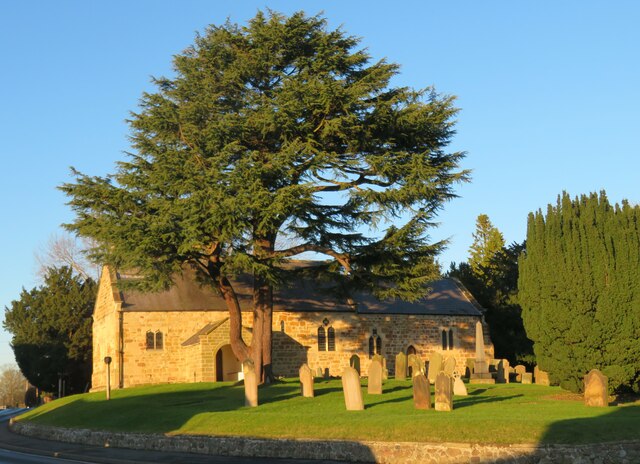
Image: © Gordon Hatton Taken: 13 Jan 2022
Easily dismissed as just another Victorian village church, St Wilfred's is mostly medieval with [according to Pevsner] a Norman window in the south wall, which must be the tiny round headed window just to the right of the tree trunk. The other windows on this side appear to be 13thC.
Images are licensed for reuse under creativecommons.org/licenses/by-sa/2.0
Image Location
Latitude
54.249829
Longitude
-1.348011