Horsforth, 35 Long Row
Introduction
The photograph on this page of Horsforth, 35 Long Row by Mel Towler as part of the Geograph project.
The Geograph project started in 2005 with the aim of publishing, organising and preserving representative images for every square kilometre of Great Britain, Ireland and the Isle of Man.

There are currently over 7.5m images from over 14,400 individuals and you can help contribute to the project by visiting https://www.geograph.org.uk
Horsforth, 35 Long Row
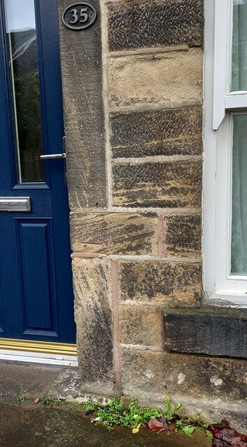
Image: © Mel Towler Taken: 28 Dec 2021
The benchmark is cut into the right hand stone door surround, and is cut into the only horizontal stone. The mark is damaged.
Images are licensed for reuse under creativecommons.org/licenses/by-sa/2.0
Image Location


Leaflet Map data © OpenStreetMap
Latitude
53.843091
Longitude
-1.635208