Slack of Scotston
Introduction
The photograph on this page of Slack of Scotston by Anne Burgess as part of the Geograph project.
The Geograph project started in 2005 with the aim of publishing, organising and preserving representative images for every square kilometre of Great Britain, Ireland and the Isle of Man.

There are currently over 7.5m images from over 14,400 individuals and you can help contribute to the project by visiting https://www.geograph.org.uk
Slack of Scotston
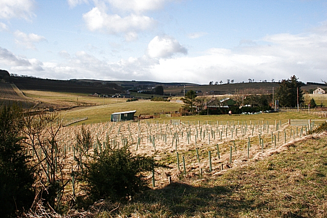
Image: © Anne Burgess Taken: 27 Feb 2008
New broadleaved planting near the junction of B9025 and B9121.
Images are licensed for reuse under creativecommons.org/licenses/by-sa/2.0
Image Location


Leaflet Map data © OpenStreetMap
Latitude
57.563185
Longitude
-2.550224