Path to Bircher Common
Introduction
The photograph on this page of Path to Bircher Common by Fabian Musto as part of the Geograph project.
The Geograph project started in 2005 with the aim of publishing, organising and preserving representative images for every square kilometre of Great Britain, Ireland and the Isle of Man.

There are currently over 7.5m images from over 14,400 individuals and you can help contribute to the project by visiting https://www.geograph.org.uk
Path to Bircher Common
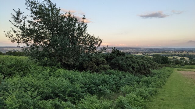
Image: © Fabian Musto Taken: 13 Jul 2021
I took this photograph heading down from Oaker Coppice to the southern section of Bircher Common.
Images are licensed for reuse under creativecommons.org/licenses/by-sa/2.0
Image Location


Leaflet Map data © OpenStreetMap
Latitude
52.296713
Longitude
-2.785178