Henry Rogers house
Introduction
The photograph on this page of Henry Rogers house by Neil Owen as part of the Geograph project.
The Geograph project started in 2005 with the aim of publishing, organising and preserving representative images for every square kilometre of Great Britain, Ireland and the Isle of Man.

There are currently over 7.5m images from over 14,400 individuals and you can help contribute to the project by visiting https://www.geograph.org.uk
Henry Rogers house
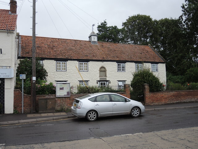
Image: © Neil Owen Taken: 19 Aug 2021
Originally a house dating from the 1500s, Henry Rogers left a sum to help the poor in 1672 and so established the almshouses. Over the course of history, the houses also served as a prison and parish school, before resuming as accommodation in the nineteenth century. With the facilities being in a parlous state (piped water did not arrive until the 1950s), the almshouses were comdemned in 1967 and forced a major renovation. Grade II listed.
Images are licensed for reuse under creativecommons.org/licenses/by-sa/2.0
Image Location
Latitude
51.151165
Longitude
-3.064824