Kempston Rural, Corner of Box End Road and B560
Introduction
The photograph on this page of Kempston Rural, Corner of Box End Road and B560 by N Avery as part of the Geograph project.
The Geograph project started in 2005 with the aim of publishing, organising and preserving representative images for every square kilometre of Great Britain, Ireland and the Isle of Man.

There are currently over 7.5m images from over 14,400 individuals and you can help contribute to the project by visiting https://www.geograph.org.uk
Kempston Rural, Corner of Box End Road and B560
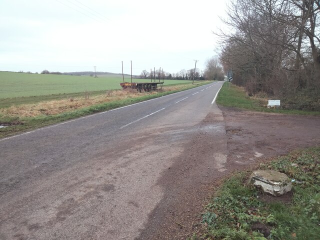
Image: © N Avery Taken: 10 Jan 2022
View along B560, Vicarage Farm to right of photograph.
Images are licensed for reuse under creativecommons.org/licenses/by-sa/2.0
Image Location
Latitude
52.121476
Longitude
-0.523325