Holy Island from Whiting Bay
Introduction
The photograph on this page of Holy Island from Whiting Bay by Adam Ward as part of the Geograph project.
The Geograph project started in 2005 with the aim of publishing, organising and preserving representative images for every square kilometre of Great Britain, Ireland and the Isle of Man.

There are currently over 7.5m images from over 14,400 individuals and you can help contribute to the project by visiting https://www.geograph.org.uk
Holy Island from Whiting Bay
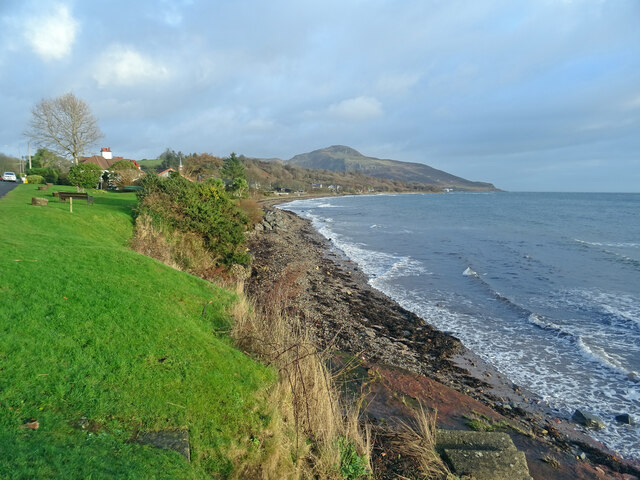
Image: © Adam Ward Taken: 2 Jan 2022
From Shore Road at the north end of Whiting Bay looking across the shoreline to Holy Island, site of a Buddhist retreat for women.
Images are licensed for reuse under creativecommons.org/licenses/by-sa/2.0
Image Location
Latitude
55.497099
Longitude
-5.093561