The Donkey Flood Zone
Introduction
The photograph on this page of The Donkey Flood Zone by Michael Stagg as part of the Geograph project.
The Geograph project started in 2005 with the aim of publishing, organising and preserving representative images for every square kilometre of Great Britain, Ireland and the Isle of Man.

There are currently over 7.5m images from over 14,400 individuals and you can help contribute to the project by visiting https://www.geograph.org.uk
The Donkey Flood Zone
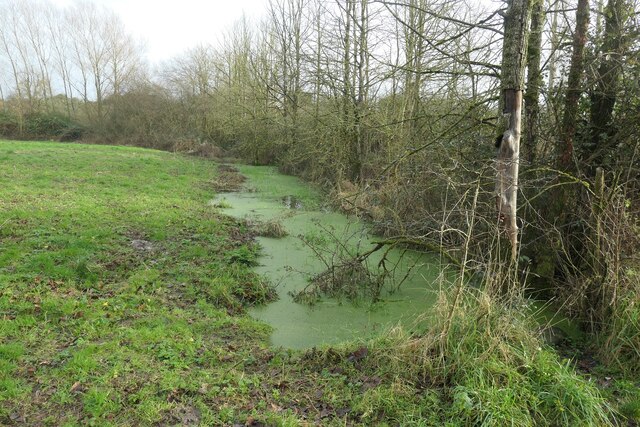
Image: © Michael Stagg Taken: 1 Jan 2022
Sheepway, Portbury drainage rhyne Portishead Dock backwater containment to River Severn south on Northern Somerset Levels below the Gordano Valley peat and silt from spring geologic structure and marl restraint of seepage including some interbedded Permo-Triassic described sandstone marlstone affecting water resource store and transfers and various utility structures installed both Victorian and Recent and the Agricultural practices and Hedgerow forestry are an excellent horse and donkey reserve on clay but inclined to progressive flood water accumulation.
Images are licensed for reuse under creativecommons.org/licenses/by-sa/2.0
Image Location
Latitude
51.479863
Longitude
-2.748415