Goodnestone ways [2]
Introduction
The photograph on this page of Goodnestone ways [2] by Michael Dibb as part of the Geograph project.
The Geograph project started in 2005 with the aim of publishing, organising and preserving representative images for every square kilometre of Great Britain, Ireland and the Isle of Man.

There are currently over 7.5m images from over 14,400 individuals and you can help contribute to the project by visiting https://www.geograph.org.uk
Goodnestone ways [2]
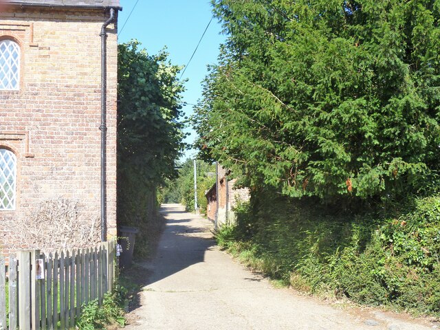
Image: © Michael Dibb Taken: 8 Sep 2021
A public footpath follows School Lane. Beyond the school the path divides and leads to a number of destinations, including the wonderfully named Muddy Bush Corner. Goodnestone is a village adjacent to the Goodnestone House and Gardens estate, some 7 miles southeast of Canterbury. Many of the village houses were built by the estate.
Images are licensed for reuse under creativecommons.org/licenses/by-sa/2.0
Image Location
Latitude
51.246234
Longitude
1.229951