End of Hare's Lane at Porton Road
Introduction
The photograph on this page of End of Hare's Lane at Porton Road by M J Roscoe as part of the Geograph project.
The Geograph project started in 2005 with the aim of publishing, organising and preserving representative images for every square kilometre of Great Britain, Ireland and the Isle of Man.

There are currently over 7.5m images from over 14,400 individuals and you can help contribute to the project by visiting https://www.geograph.org.uk
End of Hare's Lane at Porton Road
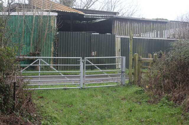
Image: © M J Roscoe Taken: 31 Dec 2021
Redwick Circular Walk goes through the wooden kissing gate and turns right on to the road for a short distance.
Images are licensed for reuse under creativecommons.org/licenses/by-sa/2.0
Image Location
Latitude
51.545199
Longitude
-2.892007