Housing alongside B6291
Introduction
The photograph on this page of Housing alongside B6291 by Trevor Littlewood as part of the Geograph project.
The Geograph project started in 2005 with the aim of publishing, organising and preserving representative images for every square kilometre of Great Britain, Ireland and the Isle of Man.

There are currently over 7.5m images from over 14,400 individuals and you can help contribute to the project by visiting https://www.geograph.org.uk
Housing alongside B6291
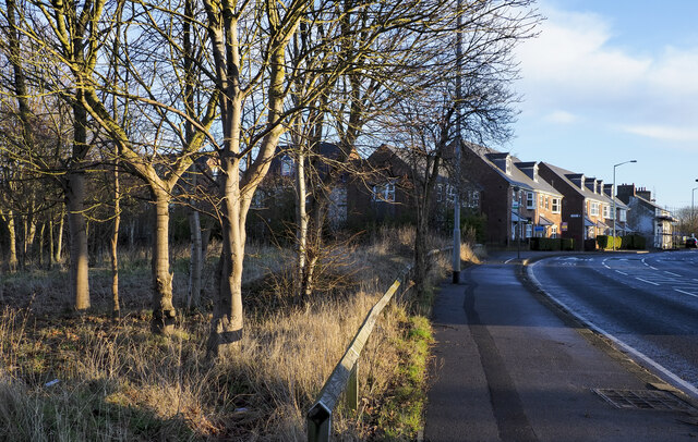
Image: © Trevor Littlewood Taken: 7 Jan 2022
New housing beyond open ground with a few deciduous trees at the northern end of Coxhoe.
Images are licensed for reuse under creativecommons.org/licenses/by-sa/2.0
Image Location
Latitude
54.721062
Longitude
-1.508764